Required Arguments: -var: chosen plot variable
Options: -help(-h): Pulls up Help Page
-base(-b): Uses Basemap options, you must follow this option with an "O" or "L"
-iname : Sets name of output image, you must follow this with an image name
-xsiz : Toggles the number of pixels in x
-ysiz : Toggles the number of pixels in y
-bcol : Toggles the color of the basemap'
Example Usage: 'us_map rose -b O -iname topomap.png'
-Plots the topography with masked out ocean and saves to the image: topomap.png
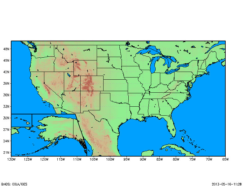 | |
| US Topomap made using us_map.gs |
Note, when using us_map.gs, the lat/lon boundaries are set within the script, so you cannot set these before hand. Also, be sure to set your other plot options before using us_map.gs (e.g., page area, contour levels, etc.). Lastly, us_map.gs turns off the x and y labels to plot the boxes for Alaska and Hawaii, so you may need to turn them back on after using us_map.gs. Also, please report any bugs so that this script may be fixed in future versions.
Download us_map.gs


0 comments:
Post a Comment